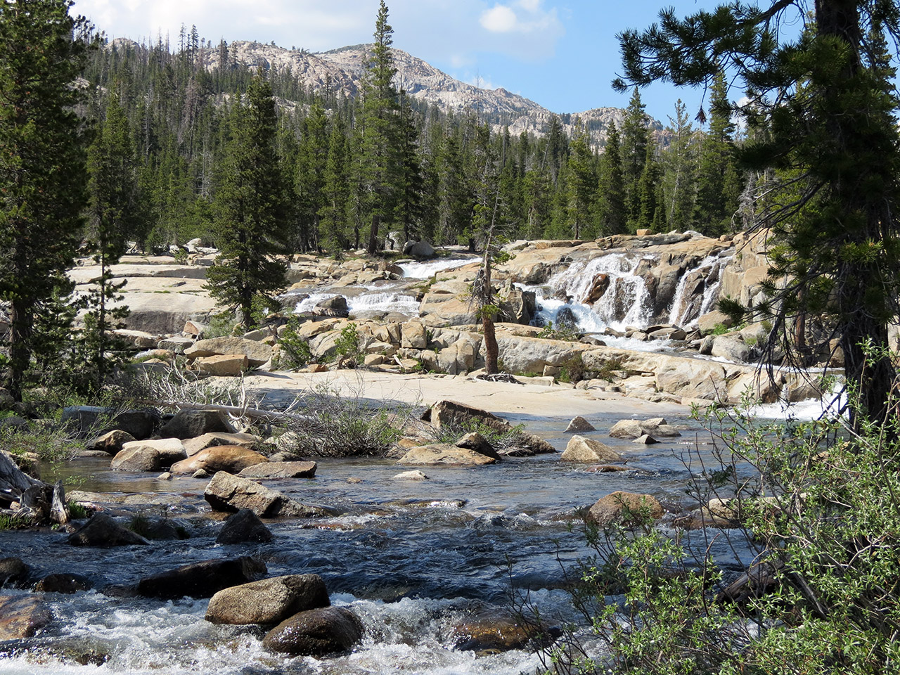
Here is another look up river. It is difficult to see the river channels on the far side of the river, but it does give you a general idea of the layout. If you are thinking we crossed shortly below the falls, that would be incorrect. From where I'm standing taking this picture, we crossed about 25 feet further down stream. There were some seriously dangerous water channels upstream of us as well as solid rock walls which would have made exiting the river impossible.

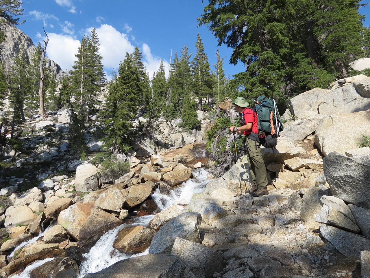
We now must find the trail leading back up river toward Tilden Lake.

The cascade/waterfall from the outflow of Tilden Lake was spectacular. Somehow we failed to photograph it when we were down in the valley and had a good view. We easily intersected with the other trail which switchbacked steeply up the mountain from the valley floor. I'm standing next to the cascade coming down out of Tilden Lake.
The trail to Tilden Lake climbs quickly. We gained 700ft in about one mile. (8200ft - 8900ft). This kind of a grade takes a lot out of you. I paused many times on the way up to drink and recoup.
Next Page Photo Table of Contents Home