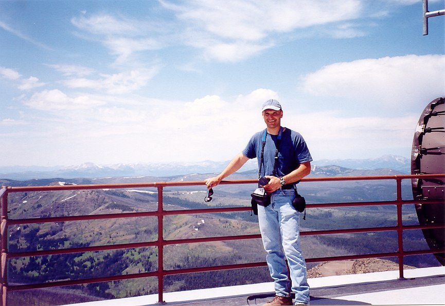
After more than 2000 feet of climbing we reached the 10,243 foot summit. From here you have a good view of the surrounding mountain ranges.
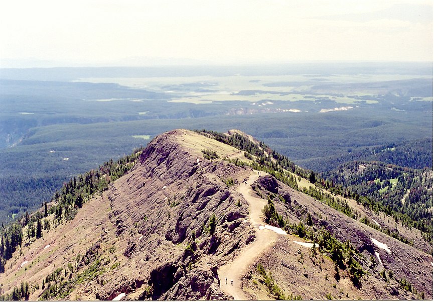
This is a very important photo. It shows the true size and magnitude of the Yellowstone Caldera. Look deep into the haze at the top of this photo (about an inch down). Do you see that mountain range? Directly off the end of Mt. Washburn, if you draw a straight line back to that distant mountain in the haze, that is Mt. Sheridan. Mt. Washburn is an ancient Volcano. Lava flows can be found from the top of Mt. Washburn in all directions except this one - why? Doesn't lava flow in this direction? How could a volcano have one side with lava flows that abruptly stop near the base on one side? Mt. Sheridan, 37 miles from where this photo was taken, was once part of a mountain range that connected to Mt. Washburn. What happened to that entire mountain range and all the lava flows from Mt. Washburn? Only now do you really get a sense of how big the Yellowstone eruptions were. That entire mountain range was obliterated. In fact, the large semi circular hole you are now looking at is what is known as the Yellowstone Caldera (crater). To give you some idea of the amount of material blasted into the stratosphere, consider the Mt. Saint Helens volcanic eruption. This powerful explosion blew a quarter cubic mile of rock into the air, but the Huckleberry explosion 2.1 million years ago blew 600 cubic miles of rock into the air, leaving this massive 45 mile long and 28 mile wide caldera. That's nearly 2400 times more material than the Mt. Saint Helens eruption. For more information visit http://www.yellowstonenationalpark.com/calderas.htm
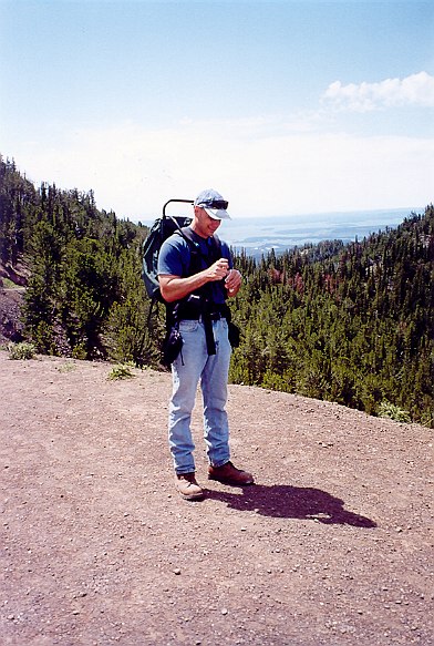
On the way back down Mt. Washburn, Andra stops for a photo.