
Here we are at the trailhead near Sonora pass. The sun's low tilt in the sky should already hint that things are not going our way. We left the house a bit behind schedule, but not enough to create an issue. Dave and I both needed gas so our first stop was to tank up. Unfortunately, Dave discovered he had left his gas cap key at home and driving back was more than an hour round trip. These two things alone would still have left us enough time to reach our first campsite before dark, but fate was going to intervene again... and again.
I used my mapping software to calculate the drive time necessary to drop a car at the end and then drive around to the start. Generally (99% of the time), the software overestimates how long it takes to drive a route by a substantial margin. However, this time it underestimated the drive time by more than one hour. The magnitude of the error was greater than I had ever experienced with it.
While winding our way up to Ebbetts pass, Andra and I noticed we had lost Dave completely. Granted I was pushing as fast as was possible, but he was nowhere to be seen and we started to worry that something happened to him. When we reached the turn off for the trailhead I pulled off the road and put it in park. We waited wondering what had happened. Fortunately, before I thought to turn back Dave came around the corner.
We left my car and as we were about to get back into Dave's truck, he handed me his keys. As it turned out, Dave wasn't feeling very well. He said he felt tired and was having a tough time focusing his eyes. None of us had breakfast yet and the plan had us getting food on route to the start. We figured he just hadn't recovered from his last backpacking trip that ended only 3 days before. Hoping that some food and rest would perk him up, we headed for breakfast. After eating I continued driving to the trail while Dave dozed off and on. The picture above was taken at about 3:45pm and we probably started hiking just before 4pm. Reaching our planned campsite location before dark now seems unlikely.
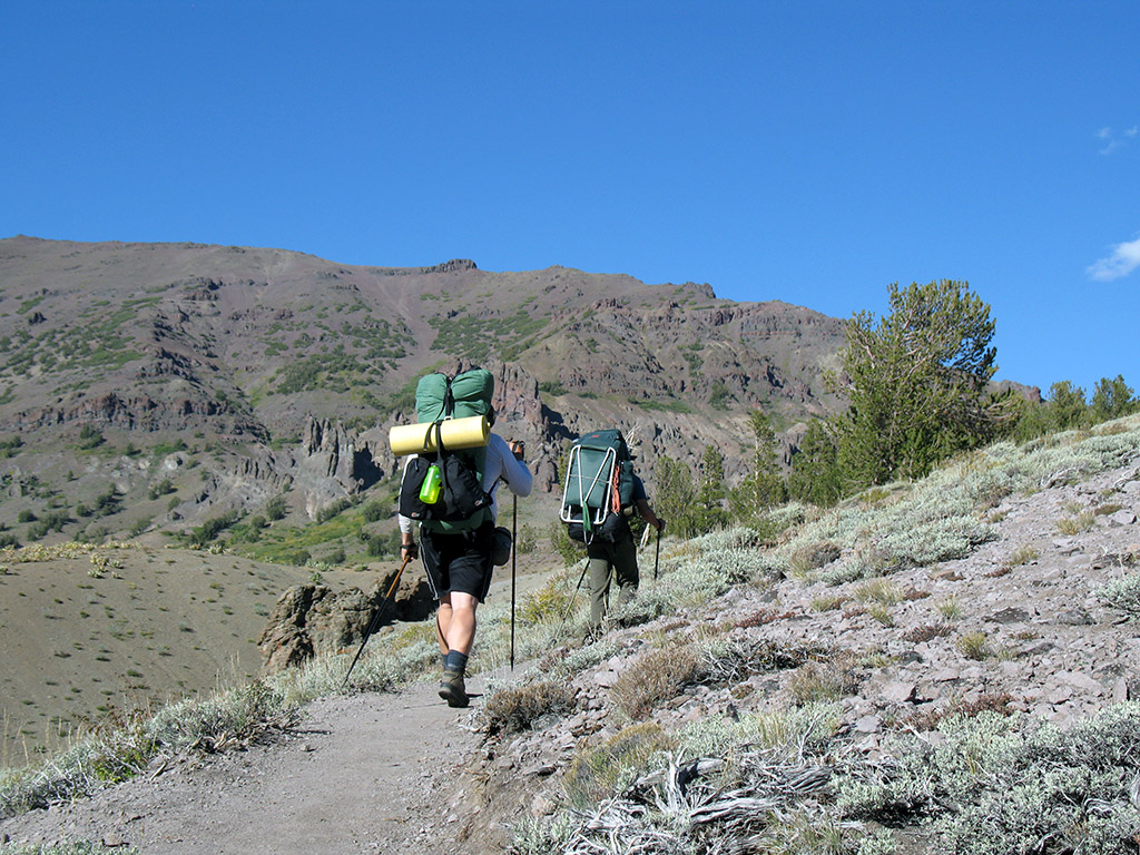
Still not far from the car the trail starts up. I got out ahead and decided to break out the camera and allow them to catch up. Dave, still not feeling quite right starts to fall further and further behind. I maintain an eye on him as Andra and I attempt to power over the pass so we'll have at least a short time before sunset to look for a campsite before dark. The campsites I had planned and marked on the map for Chip were chosen for specific reasons. Generally they were near a water source and in sections of the trail where flatter areas for pitching a tent were available. Pitching a tent on Sonora Pass would have been... uncomfortable. :)
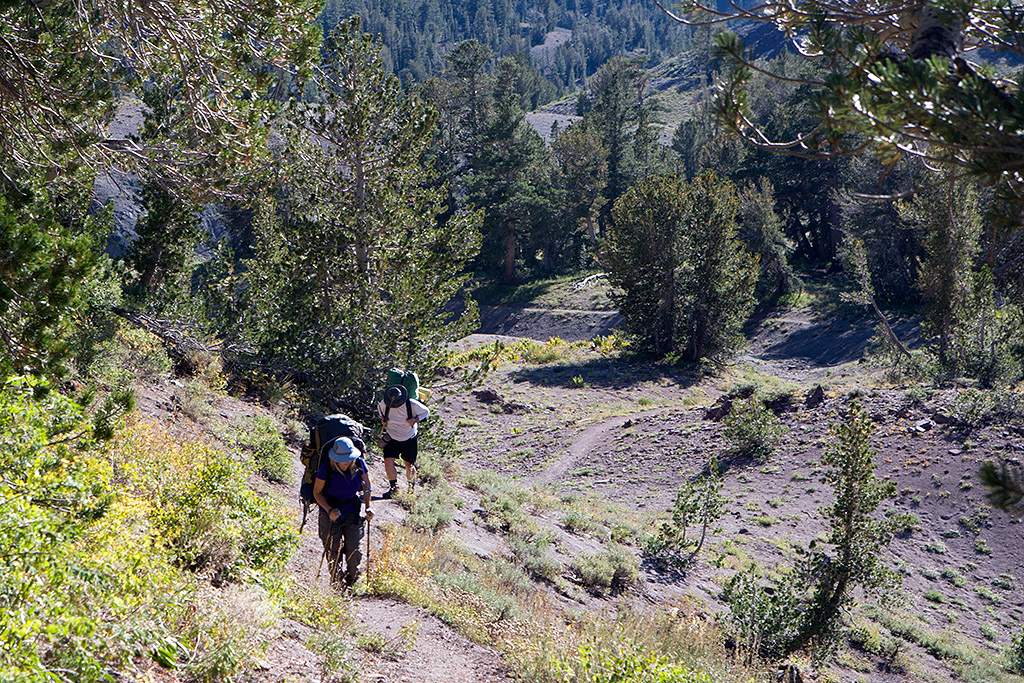
Knowing that we weren't going to make that first planned campsite means we will have to search for water and flat ground in generally steeper areas all under time pressure. The best I could do is keep an eye behind us to insure Dave was okay and still moving forward while speeding over the Pass.